There are a variety of transportation options to make your way around Central Counties.
Driving
With many visitors most familiar with Toronto’s location – and in fact, many travelers hailing from T.O. – we’ve listed driving distances and directions to our regions from the city of Toronto.
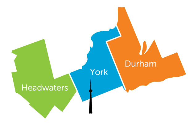
Toronto to Durham Region
Distance: 63 kilometres
Travel time: Less than 1 hour by car (54 minutes to be exact, according to Google Maps)
Travel recommendations: Take highway 401, 407 (toll) or 2
Toronto to York Region
Distance: 50 kilometres
Travel time: 45 minutes (approximate)
Travel recommendations: Take highway 400, 404 or 407 (toll)
Toronto to Headwaters Region
Distance: 89 kilometres
Travel time: 1 hour, 10 minutes (approximate)
Travel recommendations: Take 427, 401, 410 or 407 (toll)
Maps
Download a city, town or village map from Ontario’s Ministry of Transportation.
Or, visit the Ministry of Transportation’s interactive Ontario road map for up-to-date closure, traffic and road condition information.
Car Rentals from Toronto Pearson Airport
Flying into the Greater Toronto Area? Need a car rental? There several car rental companies to choose from, all onsite at the Toronto Pearson Airport. Car rental counters are located on Level 1 of the parking garages, adjacent to both airport terminals. Visit the rental company sites for more details about pick up and drop off options and to make a reservation.
Off-Airport Car Rental Companies
Car rentals are also available at Viscount Station, part of the LINK train network. Make arrangements for courtesy van service by contacting any of these off-airport rental agencies.
- Discount Car & Truck Rentals
- Economy Rent A Car
- E-Z Trans Canada Car Rental
- Roadstar / Fox Rent-A-Car
- ACE Rent-A-Car
- Payless Car Rental
- Zoom Rent-A-Car
Air Travel
Those traveling by plane will likely arrive at Toronto Pearson International Airport. Just in case, we’ve listed information for the other airports in the Toronto vicinity.
- Toronto Pearson International Airport
- Billy Bishop Toronto City Airport (Downtown Toronto)
- John C. Munroe Hamilton International Airport (Hamilton)
- Oshawa Executive Airport
Bus
GO Transit
GO Transit bus services are available from Union Station, Toronto. Route 40 connects Richmond Hill Centre Terminal and Pearson International Airport. Routes include service to Orangeville, Caledon, Kleinburg, Canada’s Wonderland, Newmarket, Aurora, Uxbridge, Cannington, Port Perry, Oshawa, Bowmanville, Clarington and more.
View the GO Transit Trip Planner for more information.
Line information that may be helpful:
-
- The Lakeshore East line includes stops at Pickering, Ajax, Whitby and Oshawa
- The Stouffville line includes stops at Unionville, Markham and Stouffville
- The Richmond Hill line terminates at Richmond Hill
- The Barrie line includes stops at King City, Aurora, Newmarket and East Gwillimbury
TTC
There are 14 TTC routes leaving from subway stations in Toronto that connect to York Region.
Greyhound
For those traveling by bus within Canada and the United States, Greyhound offers a variety of departure options with hop-on, hop-off options. In Toronto, the Greyhound Bus Terminal is located at 610 Bay Street.
Megabus
Another option for those traveling by bus is Megabus, which offers routes between Toronto and other major US and Canadian cities.
Train
ViaRail offers train service between Toronto and other major destinations within Canada. Traveling by train offers a variety of flexible departure options, and is a great way to explore the vast expanse of Canada in a more meaningful and memorable fashion.